
Generating Spatial Networks from Points#
Spatial networks can be constructed from point data using a variety of connectivity models, including volume-exclusion, proximity-based, and constrained connection methods. SpaceNet supports each of these approaches, allowing spatial networks to be generated directly from a set of points.
In this tutorial, we’ll use the spatial_network_from_points() function from the utils submodule to construct spatial networks. By default, spatial_network_from_points() uses the Delaunay triangulation connectivity model, a widely used volume-exclusion method. Let’s start by generating a network from a random set of points and examine the resulting topology.
[1]:
import spacenet as sn
import numpy as np

# generate a set a points
points = np.random.rand(1000,2)*1000

# generate a spatial network from the points using the Delaunay model
spatial_net = sn.utils.spatial_network_from_points(points)

# visualise the network
sn.utils.plot_spatial_network(spatial_net)
[1]:
(<Figure size 640x480 with 1 Axes>, <Axes: >)
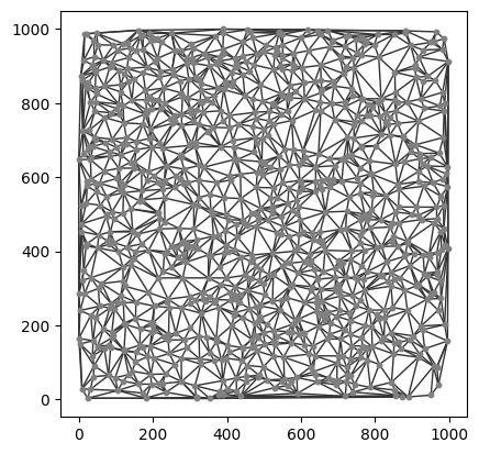
The resulting network is the Delaunay triangulation of the input point set, where each point becomes a node and the triangulation defines the network connectivity.
A spatial network is simply a network whose nodes and edges have an associated spatial embedding. Each node stores its position in space, while each edge represents a spatial connection between two nodes and is weighted by the Euclidean distance separating them. We can inspect these spatial properties directly:
[2]:
sn.utils.print_network_properties(spatial_net)
------------------
Network properties
------------------
Number of nodes: 1000
Number of edges: 2976
Edge weight names: ['Distance', 'Inverse Distance']
Node label names: ['position']
------------------
The network stores the spatial position of each node in the position attribute and the Euclidean distance associated with each edge in the Distance edge attribute. These edge weights can be visualized by specifying the edge_weight_name parameter in plot_spatial_network().
[3]:
sn.utils.plot_spatial_network(spatial_net,edge_weight_name='Distance',add_edge_cbar=True)
[3]:
(<Figure size 640x480 with 2 Axes>, <Axes: >)
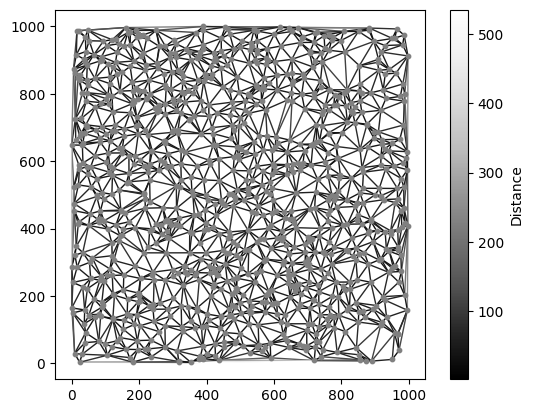
The Delaunay triangulation can include relatively long edges that may not represent meaningful spatial connectivity in some applications. To address this, spatial_network_from_points() provides max_edge_distance and min_edge_distance parameters for filtering edges by length during network construction.
Let’s regenerate the network, this time retaining only edges shorter than 100 distance units.
[4]:
# generate a spatial network from the points using the Delaunay model
spatial_net_pruned = sn.utils.spatial_network_from_points(points,max_edge_distance=100)

# visualise the network
sn.utils.plot_spatial_network(spatial_net_pruned)
[4]:
(<Figure size 640x480 with 1 Axes>, <Axes: >)
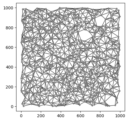
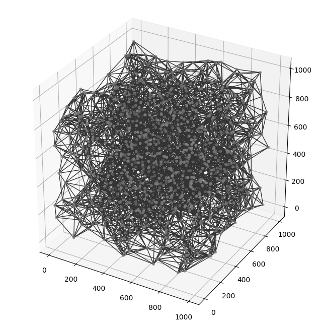
By filtering edges by length, we can tailor the network connectivity to better represent the spatial relationships in our data. These filtering options are equally applicable to three-dimensional point sets.
Let’s repeat the previous example, this time using points embedded in 3D space.
[5]:
# generate a set a points
points_3d = np.random.rand(1000,3)*1000

# generate a spatial network from the points using the Delaunay model
spatial_net_3d = sn.utils.spatial_network_from_points(points_3d,max_edge_distance=200)

# visualise the network
sn.utils.plot_spatial_network(spatial_net_3d)
[5]:
(<Figure size 1000x800 with 1 Axes>, <Axes3D: >)
In this tutorial, we’ve introduced the basic functionality for generating spatial networks from point data using the Delaunay triangulation connectivity model. SpaceNet also supports a range of alternative connectivity models, including proximity-based, k-nearest neighbour, relative neighbourhood, and others.
For details on all available connectivity models and their parameters, see the documentation for spatial_network_from_points().